Hiking the “Bridge to Nowhere” after rainfall feels like paradise
Listen below. Click “globe” for more languages.
The Bridge to Nowhere
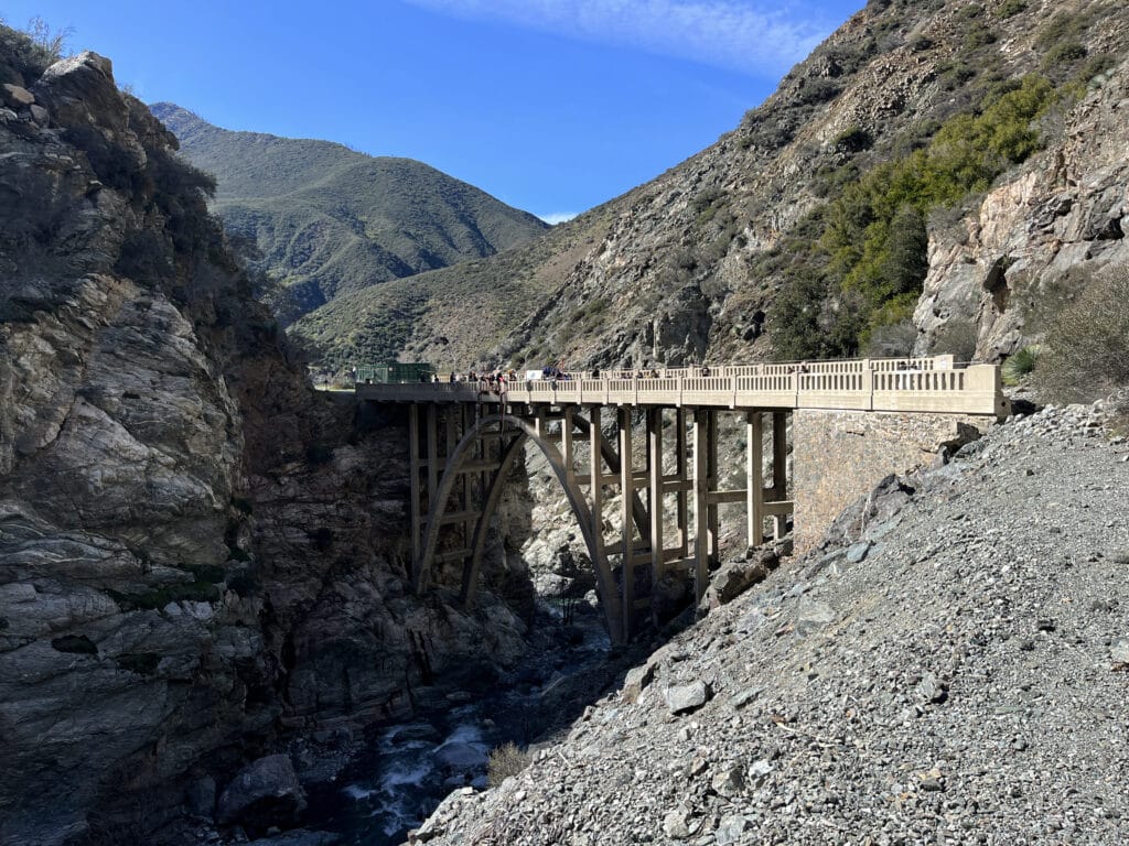
Southern California has many hiking trails, but only a few are as famous as the trail heading towards the “Bridge to Nowhere.” This arch bridge is 120 feet high and 180 feet long, a majestic throne over the San Gabriel River. After the bridge was finished in 1936 as part of the “East Fork Road Project” a severe flood in 1938 washed out significant parts of the road in the south, causing the project to be abandoned. So, the bridge remained isolated deep inside the San Gabriel Mountains.
Getting to the hiking trail may not be easy.
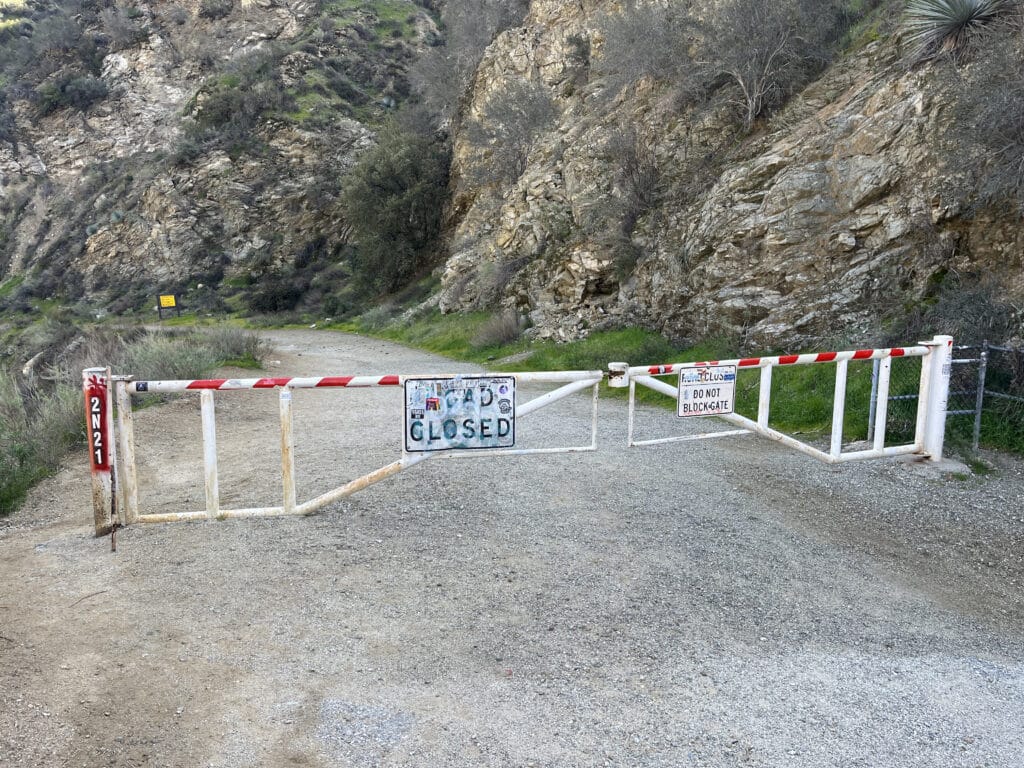
The only way to get to the “Bridge to Nowhere” is from the official parking lot at the end of Camp Bonita Road, which branches off East Fork Road when coming from southeast Los Angeles. Although the trail is officially labeled “open all year around” this does not automatically mean that you can get there. It is very important to pay attention to the “alerts and notices,” either online or on one of the large signs when entering the national forest. Due to fire restrictions, storm damage, or anticipated flooding, certain access points may be closed. Checking this as close to your trip as possible can save you lots of heartache and unnecessary driving.
Don’t forget the permit.
Just like many other national forests, the Angeles National Forest requires a valid permit, which must be displayed in the car after parking. For single day trips, a simple “Forest Adventure Pass” for $5 US is the best option. For those traveling through the natural beauty of Southern California more frequently, an annual pass for $30 US may be the better option. Once entering the forest, options to buy a pass are pretty sparse, so make sure to purchase a permit in advance to avoid the frustration of trying to find one of just a few open locations in the area upon your arrival.
Don’t underestimate Bridge to Nowhere hike length.
Although the out-and-back hike to the “Bridge to Nowhere” is labeled as 9.5 miles, it is important to understand that this information refers to the shortest way possible. When hiking this trail for the first time, the distance will most likely increase by at least 1 or 2 miles, depending on how you hike. Whereas the general direction of the path is mostly clear, there are multiple paths that can be chosen. Some of those paths, unfortunately, lead to dead ends and require turning around and finding a new way.
The season makes the difference.
In Southern California there are only two seasons: the long, dry summer season and the short winter season, which eventually comes with a bit of rain. Each of those two options has its unique challenges. Although Bridge to Nowhere hike has relatively little incline, the round-trip distance of about 11-12 miles by itself could be challenging for some people. During summer, temperatures in the valley can easily rise to 40 °C and, hence, pose a health hazard. Furthermore, the riverbeds are usually fairly dried out during dry season. On one hand, this makes crossing the riverbed easier. On the other hand, the scenery does not look very impressive.
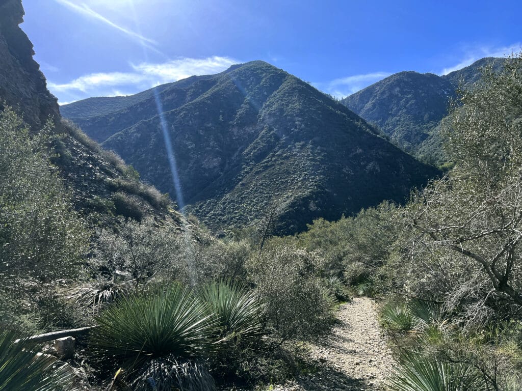
Visit the “Bridge to Nowhere” after rainfall.
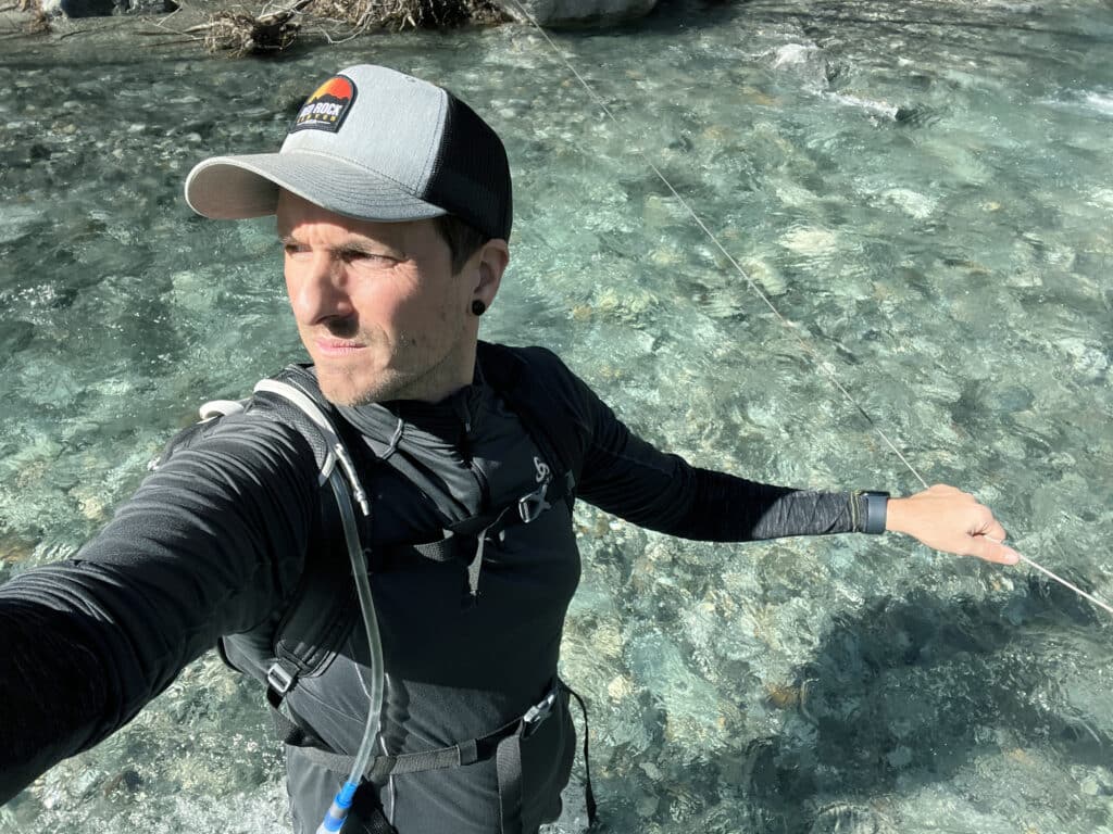
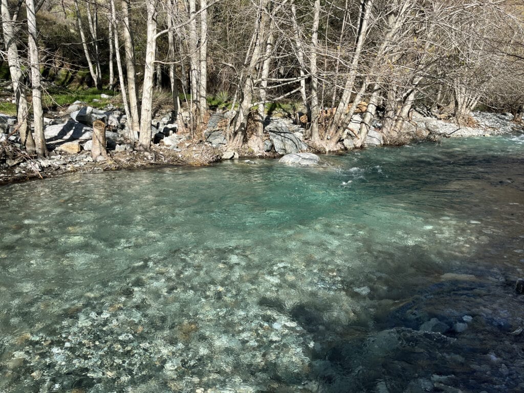
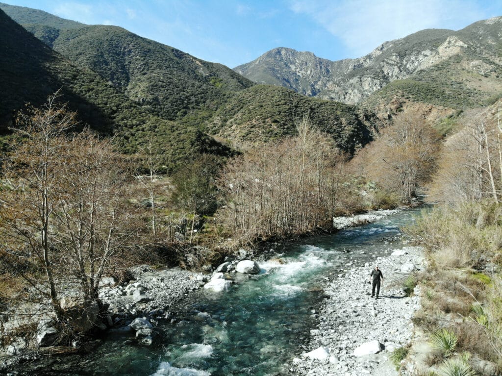
Hands down, the best time to hike the “Bridge to Nowhere” trail is during winter season, particularly after rainfall. During this time, the natural beauty of the trailhead will show itself in its greatest glory. You will experience deep green surroundings, ideal hiking temperatures, and unbelievably clear water. However, the water level that makes everything look so beautiful also makes it harder to cross the river, which needs to be done about five times in total throughout the hike.
People often slip and fall during their attempt to get to the other side of the river. In some spots, metal wires, which are attached to trees on both sides of the river, can be found and used to cross the river more safely. However, their locations are hard to pinpoint, so you will need some luck to find these wires. .
Watch for flash flood warnings.
One very important thing to consider when planning to hike the “Bridge to Nowhere” trail during rainy days is the potential risk of flash flooding in the valley. The area has a long history of severe and destructive floods, which can turn an attempt to cross the river into a deadly endeavor. This happened to several hikers in the past, so all cost you must avoid being in the valley when heavy rain is forecasted.
Bungee jumping provides an extra kick.
For those of you who don’t find the trail adventurous enough, there is an opportunity to book a bungee jump from the bridge. The service is available for $120 US on Saturdays and Sundays.
Book Your Stay near the Angeles National Forest and “Bridge to Nowhere”
Use the interactive map below to search, compare and book hotels & rentals at the best prices that are sourced from a variety of platforms including Booking.com, Hotels.com, Expedia, Vrbo and more. You can move the map to search for accommodations in other areas and also use the filter to find restaurants, purchase tickets for tours and attractions and locate points of interest!

Thomas Später, PhD, is an experienced backpacking traveler that specializes in adventurous trips around the globe. He has traveled to remote and exotic places, such as Namibia or Mongolia and focuses on landscape and wildlife photography to share the beauty of our planet with others. In 2021, Thomas published a (German) book about Overpopulation and Over-consumption (Die Überbevölkerung). With his awareness of current global issues, he uses his travels to support particularly local hotels and restaurants to raise awareness for the nature and culture of his destinations. Follow Thomas´ adventures on Instagram as well as on his website, World In Frames.
